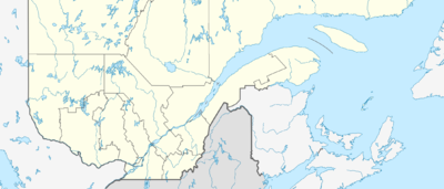
Vorlage:Positionskarte Kanada Québec Süden: Unterschied zwischen den Versionen
Keine Bearbeitungszusammenfassung |
Keine Bearbeitungszusammenfassung |
||
| Zeile 1: | Zeile 1: | ||
{{#switch:{{{1}}} | {{#switch:{{{1}}}| | ||
| name = | | name = Southern Quebec | ||
| top = | | top = 48.17 | ||
| bottom = 44 | | bottom = 44.88 | ||
| left = - | | left = -75.98 | ||
| right = - | | right = -69.31 | ||
| image | | image = Quebec_South_location_map.png | ||
}}<noinclude> | }}<noinclude> | ||
{{ | {{Location map/Info}} | ||
[[Category:Canada location map templates|Southern Quebec]] | |||
</noinclude> | </noinclude> | ||
Version vom 19. Juli 2019, 16:24 Uhr
| name | Southern Quebec | ||||||||
|---|---|---|---|---|---|---|---|---|---|
| border coordinates | |||||||||
| 48.17 | |||||||||
| -75.98 | ←↕→ | -69.31 | |||||||
| 44.88 | |||||||||
| map center | Skriptfehler: Ein solches Modul „Coordinates“ ist nicht vorhanden.{{#coordinates:46.525|-72.645 | name=
}} | |||||||
| image | Quebec_South_location_map.png | ||||||||

| |||||||||
